

i
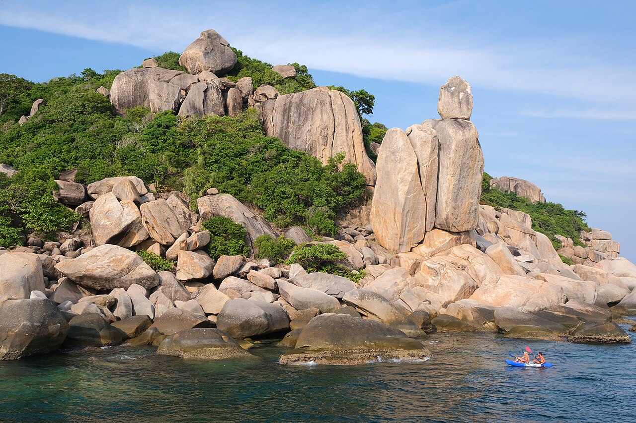
Photo by kallerna, CC BY-SA 4.0, via Wikimedia Commons.
Best time to visit Ko Tao
Thailand · Southeast Asia
All twelve months scored on daily temperature, rainfall, humidity and holiday crowding.
The year in Ko Tao
Tap a month for its page
- JanJKo Tao in January: good, busy
- FebFKo Tao in February: good, busy
- MarMKo Tao in March: sweet spot, busy
- AprAKo Tao in April: sweet spot, busy
- MayMKo Tao in May: sweet spot
- JunJKo Tao in June: sweet spot
- JulJKo Tao in July: sweet spot
- AugAKo Tao in August: sweet spot
- SepSKo Tao in September: good
- OctOKo Tao in October: avoid
- NovNKo Tao in November: ok
- DecDKo Tao in December: sweet spot
- Sweet spot
- Good
- OK
- Avoid
- Busy
Dry season: Jan–Apr, 6 or fewer rainy days a month.
Plan this trip
Each site opens on its own search: choose your dates there. A few open on their home page, where you type the place too.
Links marked Ad pay us a commission if you book, at no extra cost to you; most pay nothing, and what a site pays never decides whether it is listed or where. How we rank
Flights from
Flights
Your city is a guess from your time zone. Choose your city
Where are you flying from? Choose your city for its flights and fares.
Book with the airline
Where to stay
Book direct
Luxury
Things to do
Car hire
Travel insurance
Check whether your bank card or home insurance already covers this trip.
If the trip needs a visa, the travel agent or visa centre usually sells the cover it asks for.
Mobile data (eSIM)
Your own plan's EU roaming may already cover this.
Renting a pocket Wi-Fi is the other common way to stay connected.
These are sites people in book with. Each opens in a new tab, on the site's own pages.
Month by month
No fare history for this route yet, so this ranking is climate and crowds only — the price column will fill in as the scanner collects.
| Month | Max °C | Rain days | Humidity | Sun h/day | Verdict | Why |
|---|---|---|---|---|---|---|
| Jan | 26° | 2d | 77% | 10.5h | goodbusy | busier than usual |
| Feb | 27° | 3d | 77% | 10.7h | goodbusy | busier than usual |
| Mar | 27° | 2d | 77% | 11.0h | sweet spot busy | busier than usual |
| Apr | 29° | 5d | 77% | 10.9h | sweet spot busy | busier than usual |
| May | 29° | 10d | 79% | 10.3h | sweet spot | 29C max, 10 rainy days |
| Jun | 29° | 10d | 79% | 9.8h | sweet spot | 29C max, 10 rainy days |
| Jul | 28° | 10d | 80% | 9.0h | sweet spot | 28C max, 10 rainy days |
| Aug | 28° | 9d | 79% | 9.3h | sweet spot | 28C max, 9 rainy days |
| Sep | 28° | 13d | 81% | 8.5h | good | 28C max, 13 rainy days |
| Oct | 27° | 18d | 81% | 8.8h | avoid | monsoon: 18 rainy days, 256mm |
| Nov | 27° | 14d | 79% | 8.7h | ok | 27C max, 14 rainy days |
| Dec | 27° | 7d | 77% | 9.8h | sweet spot | 27C max, 7 rainy days |
Rain days are the days with at least 1 mm of rain, as a weather station counts them.
Weather read at Mae Haad and Sairee beach: ten years of ERA5 and ERA5-Land reanalysis, through Open-Meteo's open data.
A busy month is a crowded one, not a bad one — usually it is crowded because the weather is good. It is flagged rather than scored down, and crowds alone never make a month “avoid”: that is reserved for weather worth skipping.
How busy it gets
Then and now
Ko Tao's May days now average 28.9°C, 1.0°C warmer than in 1981–1990. 12 of 12 months are clearly warmer.
| Jan | Feb | Mar | Apr | May | Jun | Jul | Aug | Sep | Oct | Nov | Dec | |
|---|---|---|---|---|---|---|---|---|---|---|---|---|
| 1981–90 | 25.5° | 26.0° | 27.0° | 27.8° | 27.8° | 27.7° | 27.4° | 27.2° | 26.8° | 26.5° | 26.3° | 25.7° |
| 2017–26 | 26.3° | 26.7° | 27.5° | 28.6° | 28.9° | 28.6° | 28.2° | 28.1° | 27.6° | 27.4° | 27.2° | 26.7° |
| Change | +0.8° | +0.7° | +0.5° | +0.7° | +1.0° | +0.9° | +0.9° | +0.9° | +0.8° | +0.9° | +1.0° | +1.0° |
The average daily high, month by month, for the nearest ERA5 grid cell. Bold is a clear change; grey is within the ordinary spread between years. Every destination, ranked.
Getting there
Fly into Na Thon (Ko Samui Island) (USM), then drive. The flights under Where to book are to Na Thon (Ko Samui Island).
| Na Thon (Ko Samui Island) (USM) | the drive is not measured yet |
|---|---|
| Chumphon (CJM) | the drive is not measured yet |
The drive from each airport is the road's, from openrouteservice.org by HeiGIT: typical, not a schedule.
How far Ko Tao is, and what it costs, depends on where you set off from — the months above do not.
- from Bangkok
- from Ho Chi Minh City
- from Kuala Lumpur
- from Singapore
- from Kolkata
- from Jakarta
- from Hong Kong
- from Chennai
Open in Rome2rio for every way from to Ko Tao, flying or not.
Before you go
Type A and B and C and F plugs at 220 V. Drives on the left. The currency is the Baht. UK Foreign Office: avoid all but essential travel to parts. Global Affairs Canada: Exercise a high degree of caution (with regional advisories). US State Department: Level 1: Exercise Normal Precautions. Everything for Thailand: cost of living, languages, emergency numbers and health.
Being there
On arrival
- Paying — Cards work in malls, hotels and tourist restaurants; carry 20 and 100 baht notes for street food, markets and taxis. Many small sellers use PromptPay QR, which mostly needs a Thai bank app.
- UPI, for visitors from India — Not accepted for paying here; bring a card that works abroad.
- Tipping — Not expected; Thais round taxi fares to an easy number and sometimes leave small change in restaurants. Do not tip on top of a service charge.
Getting around Ko Tao
- Apps — Rides: Bolt, Grab. Maps: Google Maps, Apple Maps. Messages: LINE, WhatsApp.
There is one main road running north to south on the island that connects Sairee, Mae Haad, and Chalok, with many smaller roads branching off from it. More on Wikivoyage
From the Wikivoyage article on Ko Tao, written by travellers and licensed CC BY-SA 4.0.
Help
- Emergency — 191 (any emergency) · ambulance 1669 · fire 199 · tourist police 1155.
TravelCharika is not an emergency service: we cannot call for help or send anyone. Numbers can change; if one fails, ask someone local or your hotel.
Your embassy — : how to reach your embassy or consulate abroad. A guess from your city, : a city is not a passport.
Put together by hand from the sources listed, checked 3 October 2026. Apps, cards and rules change, so check before you rely on one.
Sources (14)
- gov.uk/foreign-travel-advice/thailand/getting-help
- en.wikivoyage.org/wiki/Thailand
- en.wikivoyage.org/wiki/Bangkok
- grab.com/th/en
- bolt.eu/en/cities/bangkok
- metro.bemplc.co.th/EMV-Contactless?lang=en
- nationthailand.com/news/policy/40063062
- huahin.localplus.city/2026/04/07/bts-skytrain-prepares-for-emv-contactless-ticketing-on-green-and-gold-lines
- phuketsmartbus.com/payment
- tagthai.com/explore/p/payment-for-foreign-tourist-in-thailand
- developers.google.com/maps/coverage
- apple.com/ios/feature-availability
- pib.gov.in/PressReleasePage.aspx?PRID=2286608
- nipl.com/uploads/NPCI_International_Press_Release_LIQUID_GROUP_TO_POWER_UPI_QR_ACCEPTANCE_IN_10_ASIAN_MARKETS_bcb05ffeee.pdf
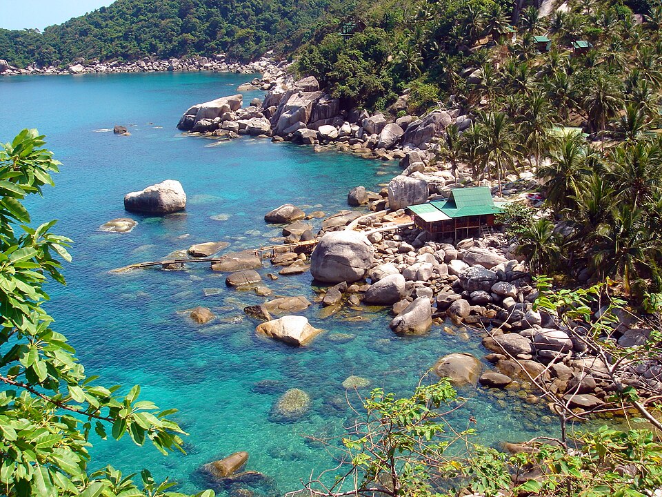
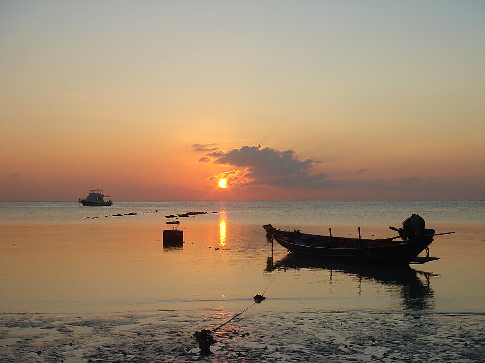
Ko Tao in pictures
i
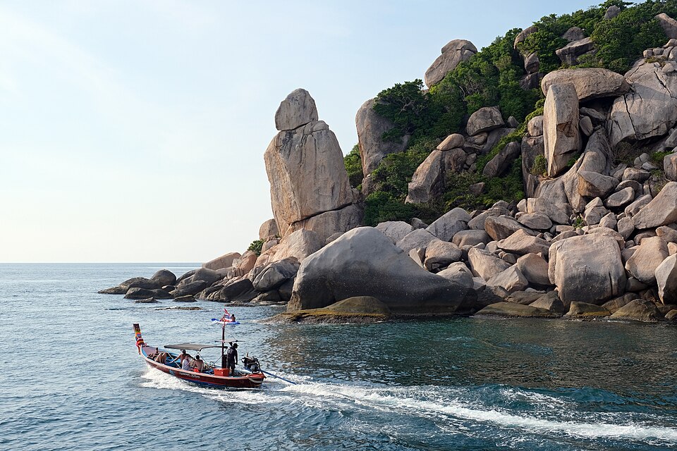
kallerna, CC BY-SA 4.0, via Wikimedia Commons
i
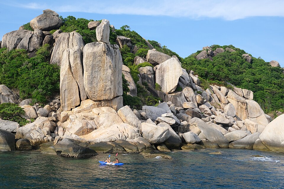
kallerna, CC BY-SA 4.0, via Wikimedia Commons
i
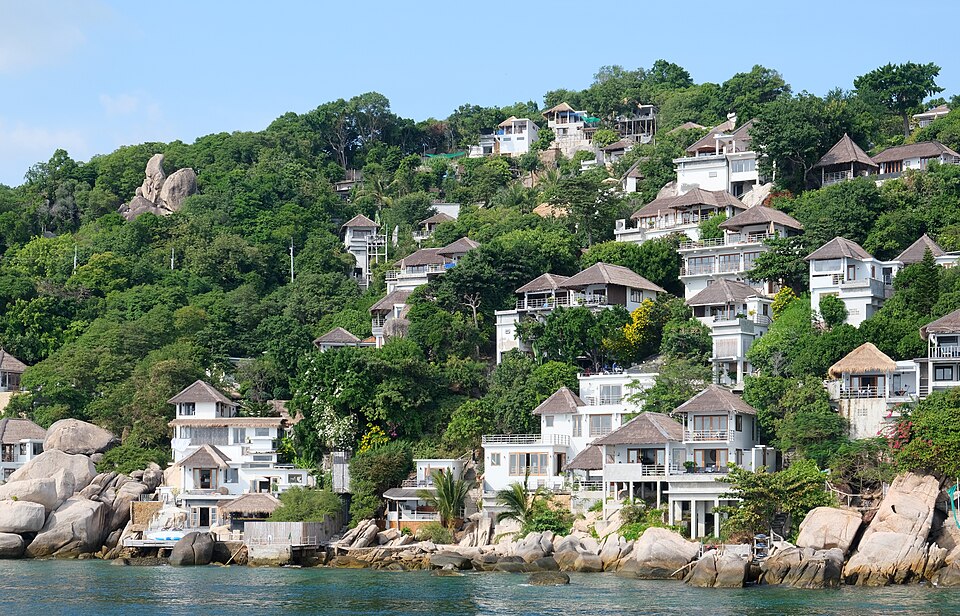
Kallerna, CC BY-SA 4.0, via Wikimedia Commons
i
Franz Winter at German Wikipedia (Original text: Franz Wint…, CC BY-SA 3.0, via Wikimedia Commons
i
Franz Winter at German Wikipedia (Original text: Franz Wint…, CC BY-SA 3.0, via Wikimedia Commons
What Ko Tao is like
Ko Tao (เกาะเต่า), literally 'Turtle Island', is an island on the Central Gulf Coast of Southern Thailand. More on Wikivoyage
- Worth seeing
- Take a bike around the island. Shark Bay is a good place to go snorkelling for the day (don't worry, they are only small black-tip reef sharks, harmless to humans). More on Wikivoyage
- Worth doing
- Freedive training and education worldwide is generally done through AIDA, SSI, and Apnea Academy, though PADI offers freediving courses. More on Wikivoyage
- Getting in
- The nearest airports are in Chumphon, Ko Samui and Surat Thani. Ko Tao can then be reached by numerous ferry and high-speed catamaran services. More on Wikivoyage
- Staying safe
- The number one way to stay safe on Ko Tao is to not drink and drive. More on Wikivoyage
From the Wikivoyage article on Ko Tao, written by travellers and licensed CC BY-SA 4.0; the full article has far more. The numbers above are measured; this is experience.
Around Ko Tao
Also in Thailand
- Bangkok best Jan, Nov, Dec
- Chiang Mai best Jan, Feb, Dec
- Chiang Rai best Feb, Mar, Nov
- Hua Hin best Mar, Nov, Dec
- Kanchanaburi best Jan, Nov, Dec
- Khao Lak best Jan, Feb, Mar
- Ko Lanta best Jan, Feb, Jun
- Ko Samui best Jun, Jul, Aug
- Pattaya best Mar, Jun, Nov
- Phi Phi Islands best Feb, Mar, Jun
- Phuket best Jan, Feb, Mar
Nearby
- Sihanoukville Cambodia · 405 km
- Langkawi Malaysia · 422 km
- Phú Quốc Vietnam · 451 km
- Penang Malaysia · 523 km
Kind of place
Ko Tao is in Thailand, Southeast Asia. Distances are great-circle, so a short one can still be a long way round.
Check your inbox. A confirmation is on its way: open the link in it, press Confirm, and you are subscribed.
That did not go through. Check the address, or try again in a minute.
Already sent. A confirmation went to that address in the last day: look for it, spam folder included. Its link works for three days.
You are not on the list until you confirm from your inbox. The list lives with our email provider, Resend; the privacy page says the rest.
Links marked Ad pay us a commission if you book through one, at no extra cost to you. That does not affect the scores on this page, which are computed from climate and fare data before any link is built.