

The Silk Road
Across the Caucasus and Central Asia, from Tbilisi to the Tian Shan. 3 stops, 2,699 km end to end as the crow flies.
i
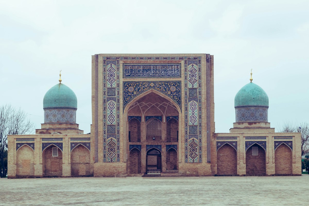
Photo: Alexander Voronov, Unsplash.
The stops, in order
 TbilisiGeorgia · best Jun, Jul, Aug
 TashkentUzbekistan · best Apr, May, Sep
 AlmatyKazakhstan · best Apr, Jun, Jul
Month by month
| Place | Jan | Feb | Mar | Apr | May | Jun | Jul | Aug | Sep | Oct | Nov | Dec |
|---|---|---|---|---|---|---|---|---|---|---|---|---|
| Tbilisi | 7° | 9° | 13° | 18° | 22° | 28° | 31° | 31° | 26° | 19° | 13° | 9° |
| Tashkent | 7° | 10° | 16° | 22° | 28° | 34° | 37° | 35° | 29° | 21° | 13° | 7° |
| Almaty | -1° | 2° | 10° | 18° | 23° | 28° | 32° | 30° | 24° | 16° | 7° | 1° |
| Sweet spots | 0 | 0 | 0 | 3 | 1 | 2 | 2 | 2 | 3 | 1 | 0 | 0 |
- Sweet spot
- Good
- OK
- Avoid
- Busy
Each cell is that destination's own verdict for the month — sweet spot, ok or avoid — with its typical daily high, from the same ten years of climate readings its page is built from. A dot marks a busy month. The last row counts the sweet spots, and the best months are marked.
Between the stops
| Tbilisi → Tashkent | 2,032 km, about 3h 24m in the air |
|---|---|
| Tashkent → Almaty | 667 km, about 1h 44m in the air By road: 861 km, about 10h 36m |
Distances are great-circle and the flight time is estimated from them. A nonstop or a road is listed only where a record has it — nonstop routes from Wikipedia's airport articles (CC BY-SA 4.0), roads © openrouteservice by HeiGIT, data from OpenStreetMap (CC BY-SA 4.0) — and none of it is a fare; the searches on each stop's page are where prices live.
Every verdict here is the destination's own: ten years of climate readings and the public holidays that crowd it. Nothing is said about The Silk Road as a whole that was not first measured at each place in it.